 WhatsApp
 Twitter

Cartography museums offer a fascinating journey through the evolution of mapmaking, preserving centuries of geographic artistry and exploration. These institutions house rare, intricate, and historically significant maps that reveal how humanity has navigated and understood our world. From medieval charts and nautical atlases to modern digital reproductions, each museum presents a unique narrative of discovery and innovation. Whether you are a history buff, a geography enthusiast, or simply curious about the art of cartography, these top 10 museums worldwide provide insights into the cultural and scientific milestones of mapmaking.
10 Cartography Museums In The World
Here are 10 fascinating cartography museums around the world, showcasing the history, art, and science of mapmaking and exploration:
1. National Library Of Scotland
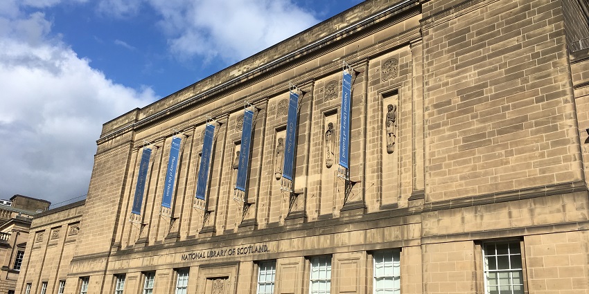
Photo: Marcok / Wikimedia Commons
The National Library of Scotland’s Map Collection in Edinburgh is renowned for its vast and varied repository of maps spanning several centuries. Housing rare manuscripts, early atlases, and intricate cartographic works, it offers visitors a deep dive into the evolution of geographic knowledge. The collection reveals how explorers and scholars documented the changing world, making it an essential destination for understanding global history through maps. Visitors can attend special exhibitions, interactive displays, and guided tours that highlight key moments in cartographic history, offering an immersive educational experience.
Major Attractions: Rare atlases, historic manuscripts, interactive exhibits
Location: Edinburgh, Scotland, United Kingdom
How To Reach: Accessible via local buses or taxis from Edinburgh city center
2. The David Rumsey Map Center
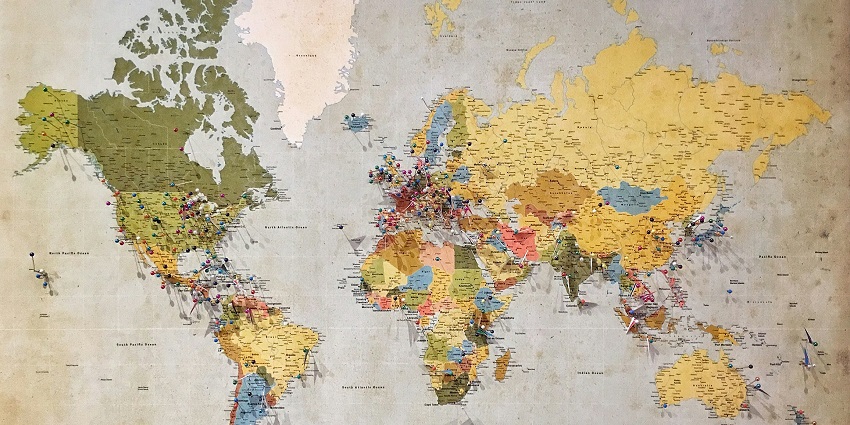
Photo: Andrew Stutesman / Unsplash / Image For Representation Only
Located in Santa Ana, California, the David Rumsey Map Center is a leading institution dedicated to the preservation and study of historical maps. Its vast collection features over 100,000 maps and atlases, from early exploration charts to detailed regional maps. Interactive digital displays enable visitors to explore intricate details, while special exhibitions and research programmes highlight the evolution of cartography, making it an engaging destination for both scholars and casual visitors.
Major Attractions: Extensive map archives, digital exhibits, scholarly research
Location: Santa Ana, California, USA
How To Reach: Accessible by car; local shuttle services available from nearby airports
3. British Library
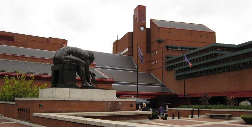
Photo: Jack1956 / Wikimedia Commons
The British Library in London boasts an impressive map collection that spans centuries and continents. This repository includes rare cartographic manuscripts, detailed atlases, and pioneering exploratory maps that document the British Empire’s influence and beyond. Visitors can explore rotating exhibitions that highlight significant developments in mapmaking, from medieval charts to revolutionary discoveries in modern times. The library’s state-of-the-art conservation techniques ensure that these treasures are preserved for future generations.
Major Attractions: Rare manuscripts, historical atlases, interactive displays
Location: London, United Kingdom
How To Reach: Easily accessible by the London Underground and local buses
4. Bibliothèque nationale de France

Photo: Jean-Pierre Dalbéra / Wikimedia Commons
The Bibliothèque nationale de France in Paris houses one of the world’s most significant collections of maps and atlases, reflecting the country’s rich history of exploration and scholarship. Its cartographic department features exquisite works that range from Renaissance maps to modern geographic surveys. The museum periodically hosts curated exhibitions that showcase the artistry and evolution of mapmaking, accompanied by informative lectures and digital displays.
Major Attractions: Renaissance maps, modern surveys, curated exhibition
Location: Paris, France
How To Reach: Accessible by metro and local buses from central Paris
5. New York Public Library

Photo: ajay_suresh / Wikimedia Commons
The New York Public Library’s Cartographic Collection in New York City showcases an extensive range of maps and atlases that trace the evolution of geographical knowledge. Highlights include early exploration, colonial expansion, and modern cartographic advancements. Visitors can explore detailed exhibits demonstrating how maps have shaped our view of the world. Digital access, educational programmes, and special events make it an engaging resource for researchers, historians, and map enthusiasts alike.
Major Attractions: Rare atlases, digital map access, educational programs
Location: New York City, USA
How To Reach: Easily reached by subway and local buses from Manhattan
6. Mapoteca Portuguesa
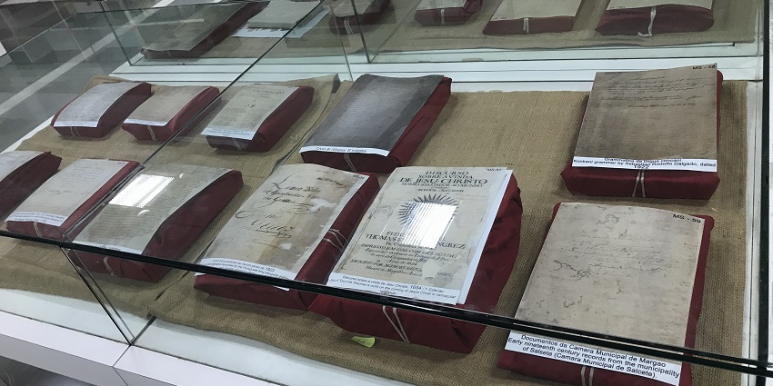
Photo: Alisha Nicole Carvalho / Wikimedia Commons / Image For Representation Only
Located in Lisbon, Portugal, the Mapoteca Portuguesa is a specialized museum dedicated to the rich cartographic heritage of the country. The museum showcases an impressive collection of maritime maps, nautical charts, and historical atlases that highlight Portugal’s pioneering role in global exploration. Visitors can immerse themselves in exhibits that detail the navigational techniques and discoveries of Portuguese explorers. Interactive displays and guided tours provide deeper insights into the evolution of mapmaking and its impact on world history. The museum is an essential destination for understanding the maritime legacy of Portugal and its contributions to cartography.
Major Attractions: Maritime maps, nautical charts, historical atlases
Location: Lisbon, Portugal
How To Reach: Accessible by metro and local trams from central Lisbon
7. Cartographic Collection At The Newberry Library
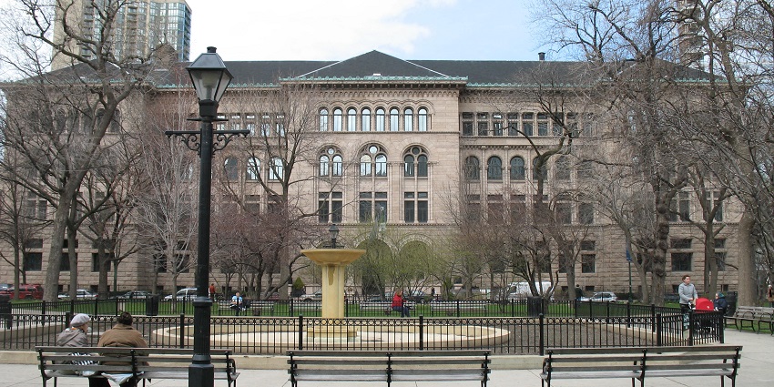
Photo: TonyTheTiger / Wikimedia Commons
The Newberry Library in Chicago, USA, houses an extensive cartographic collection showcasing the art and science of mapmaking. Its exhibits feature rare maps, regional atlases, and thematic collections, illustrating the evolution of cartography. Visitors can explore displays highlighting the transformation from hand-drawn sketches to printed maps. With research facilities and educational programmes, the library offers a fascinating insight into the historical and cultural significance of maps and mapping techniques.
Major Attractions: Rare maps, thematic collections, research programs
Location: Chicago, Illinois, USA
How To Reach: Accessible by public transit and taxis from downtown Chicago
8. University Of Tartu
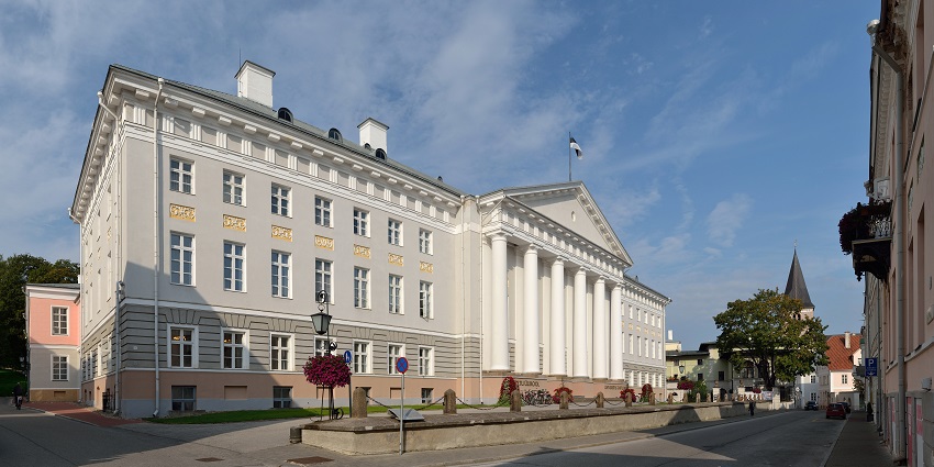
Photo: Ivar Leidus / Wikimedia Commons
The Map Museum in Estonia offers a unique perspective on Northern European cartographic history. This specialized museum presents a collection of historical maps, atlases, and educational exhibits that trace the evolution of mapmaking in the Baltic region. Visitors can explore displays that highlight the intricate details and artistic qualities of early cartographic works. The museum emphasizes the regional influence of maps on cultural and political history, with interactive exhibits that invite visitors to engage with ancient techniques and modern interpretations.
Major Attractions: Baltic atlases, interactive exhibits, historical maps
Location: Tartu, Estonia
How To Reach: Accessible by local buses or taxis from Tartu city center
9. National Maritime Museum

Photo: Ввласенко / Wikimedia Commons
The National Maritime Museum in Greenwich, London, includes an exceptional map gallery that showcases the pivotal role of cartography in maritime exploration. This gallery features detailed nautical charts, ship logs, and navigational instruments that have guided seafarers through centuries of discovery. Visitors can admire the evolution of maritime maps, from hand-drawn illustrations to modern digital renditions, and learn about the scientific innovations that made global exploration possible. The museum’s exhibits provide context on how maps have influenced naval strategies and trade routes.
Major Attractions: Nautical charts, historic navigational tools, maritime artifacts
Location: Greenwich, London, United Kingdom
How To Reach: Easily reached by DLR or bus from central London
10. Museum Of Cartography, Genoa
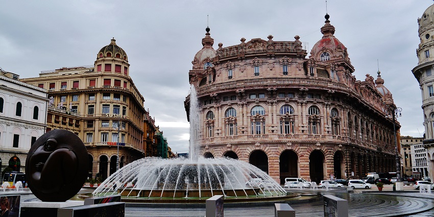
Photo: Zairon / Wikimedia Commons / Image For Representation Only
The Museum of Cartography in Genoa, Italy, celebrates the city’s rich maritime and cartographic heritage. Housed in historic buildings, it showcases maps, nautical charts, and globes that trace Genoa’s legacy as a powerful maritime republic. Exhibits explore the evolution of navigation and trade, featuring works by Genoese explorers and cartographers. The museum’s intimate setting and curated collection offer an engaging experience for history and map enthusiasts.
Major Attractions: Maritime maps, historical charts, interactive globe displays
Location: Genoa, Italy
How To Reach: Accessible by regional train and local buses; taxis available from the port area
Cartography museums around the world preserve the art and science of mapmaking, showcasing rare maps and atlases that trace human history and exploration. From the British Library to collections in Lisbon and Genoa, each offers a fascinating glimpse into our evolving understanding of geography. Plan your visit with TripXL and let ancient maps guide your journey.
Cover Photo: Diliff / Wikimedia Commons


